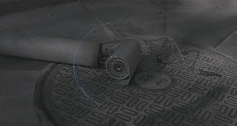
In recent years, heightening surgery has risen in many countries. In order to complete the surgery, doctors need to break the original bone, implant steel nails in it, and allow the bone to grow 5-7 cm. Such surgery is accompanied by pain and sequelae, but it still attracts many people yearn for height. Same for buildings, where bungalows are toppled in order to build taller buildings. Usually in order to show financial power and authority, consortia and authorities build tall buildings, statues, and a series of buildings that can overlook the people from top to bottom. These are called landmarks of the city. When the revolution or war begins, the first thing they do after occupying the city was to bombard tall buildings, topple statues, and destroy these symbolic buildings of power. But when everything calms down, the victorious side will gradually build larger statues and taller buildings. Will tall buildings never fall?
When the altitude is adjusted to below 300 meters in Google Earth, and the perspective is looking forward, all the tall buildings and statues on the map will be visually fallen down and become the same height as the surrounding residential buildings. It seems to work well! I can finally stare at the tall buildings. I was very excited to tell my friends about this, but they told me that it was only because I did not open the 3D model of Google Maps, so I opened the 3D model, and found that the tall buildings on the map were showing vitality again, and interestingly, only tall buildings or landmarks high enough were modeled, and the short houses "disappeared".
I have never thought about satellites. They are suspended in the universe as they are taken for granted, watching every move on the earth, military, network, communication, omnipotent. At the same time, our concept of the universe, the earth, and the city is actually largely formed by images taken by satellites. So are the universes and cities we see real? In 2012, thousands of people in Iran protested that Google Maps "ignored" its world-famous Persian Gulf; in August 2016, the Palestine Journalist Forum found that Google Maps had quietly removed the Palestinian name. US cartographer Dennis Wood wrote in his " The Power of Maps ”proposes that "Maps build the world, not copy the world." The deep intention of power is hidden behind the images created by satellite maps in the name of technology and truth. This is the "invisibility and visibility" of power. Technology realizes power, making it a sturdy form, and those "short" things disappear on the map.
No one is watching you, because you don’t even exist.


